
Destination guide
Mhamid Morocco: the last village before Erg Chigaga
Mhamid Morocco, written M’Hamid El Ghizlane on most maps, is the village where the paved N9 runs out, about 95 km south of Zagora at the bottom of the Drâa valley. Past the last houses there is no more tarmac, only stony plains, scattered dunes and the 4x4 tracks that lead to Erg Chigaga. Most visitors stop here for a night or a few hours on the way to the big dunes, but the village and its palm grove are worth more than a toilet break.
Where is Mhamid Morocco?
Mhamid sits in Zagora Province, in the Drâa-Tafilalet region of southeastern Morocco, at roughly 500 m above sea level. It is the last oasis of the Drâa valley, a long ribbon of palm groves that starts near Agdz and runs south past Zagora, Tamegroute and Tagounite before thinning out into open desert. The Algerian border is only a short drive away to the south and east. That border is closed, and crossing it without authorisation is illegal, according to UK government travel advice (as of November 2026).
The village is small: older Wikipedia figures and OpenStreetMap both put the population at around 7,500. You will find a main street lined with cafés and small shops, a bridge over the usually dry riverbed, and a cluster of old earth-built ksour (fortified villages) scattered through the palms.
| From | Distance by road | Driving time (no long stops) |
|---|---|---|
| Zagora | about 95 km | 1.5-2 hours |
| Ouarzazate | about 252-260 km | 4 h 25 to 5 hours |
| Marrakech | about 446-448 km | 7 h 40 to 8 h 40 |
| Erg Chigaga | about 50-60 km of piste | 1.5-3 hours by 4x4 |
Times come from route planners and travel guides and assume dry roads and no long breaks.
The name: M’Hamid El Ghizlane
The Arabic name is usually rendered as “plain of the gazelles”. Gazelles used to graze the flat ground around the oasis, and the protected Iriqui National Park to the west still shelters some desert wildlife. In Berber the area is also linked to the name Taragalte, which a local festival has borrowed.
Spelling is a mess, so don’t let it confuse you when you book. M’Hamid, Mhamid, M’hamid El Ghizlane and Lamhamid Ghozlane (the CTM bus stop name) all mean the same place.
The Drâa river and the oasis
The Drâa is usually described as Morocco’s longest river, at about 1,100 km. Since the Mansour Eddahbi dam near Ouarzazate started regulating its flow in the early 1970s, the lower river is dry for most of the year after Tagounite. By the time it reaches Mhamid you are usually looking at a wide sandy bed rather than running water, although heavy rain can still send water down the wadis now and then.
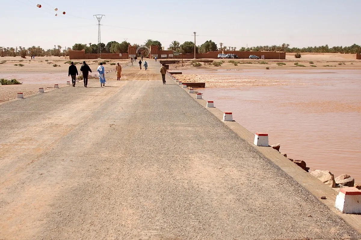
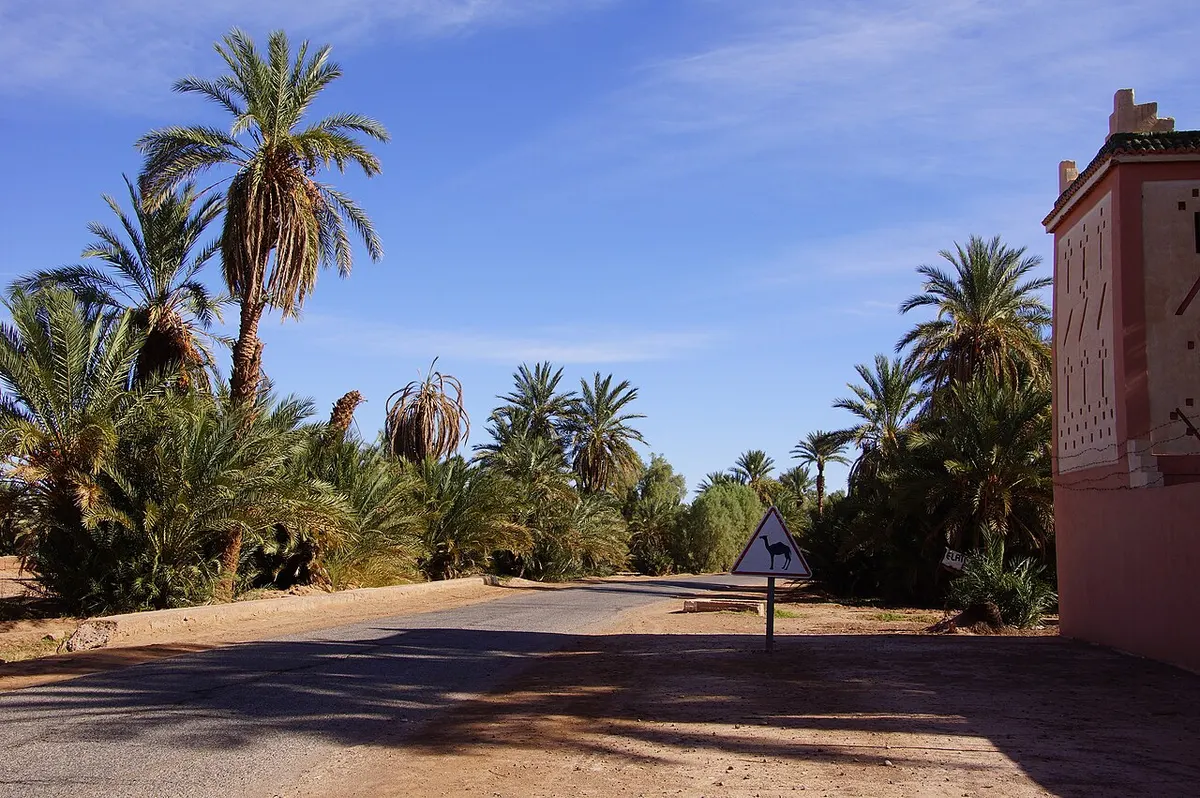
The oasis still depends on that water. Date palms shade small plots of grain fed by irrigation channels. In the palm grove you can walk between the old ksour, many of them crumbling and only partly lived in. Ksar Ouled Driss, Ksar Bounou, Ksar Zouiat L’hna and Ksar M’Hamid are four of them, and all four serve as venues for the Zamane music festival.
Mhamid was once a meeting point for trans-Saharan caravans heading south towards Timbuktu. The caravans stopped long ago, but the mix of people has stayed: Ait Atta Berbers, Drawa families from the valley and Arabic-speaking Hassani groups all have roots here.
Getting from Zagora to Mhamid
Zagora to Mhamid is the easy part. The N9 is paved the whole way and runs south past Amezrou, the pottery village of Tamegroute (around 18 to 20 km from Zagora) and the small Tinfou dunes (about 25 km from Zagora). After Tagounite the road climbs over a low pass and drops into open desert for the final stretch. Allow 1.5 to 2 hours, more if you stop at Tamegroute’s library and pottery workshops.
Marrakech to Mhamid
Marrakech to Mhamid is a long day: about 446 to 448 km via the Tizi n’Tichka pass (around 2,200 m), Ouarzazate, Agdz and Zagora. Route planners give 7 h 40 to 8 h 40 at the wheel, so plan on 9 to 10 hours with stops. The middle section of that drive is covered in our Ouarzazate to Zagora route guide.
By bus
CTM has run a direct bus from Marrakech down the Drâa valley to Mhamid, where the stop is listed as Lamhamid Ghozlane. Supratours generally ends at Zagora, and from there shared grand taxis cover the last 95 km or so in about 1.5 hours. Schedules shift with the season and are poorly listed online, so treat any timetable you find on aggregator sites as a rough guide, and ask at the Zagora or Ouarzazate bus station the day before you travel.
Mhamid desert: the dunes close to the village
The landscape right around Mhamid is mostly hamada, the flat, gravelly desert of the Moroccan south, broken by tamarisk scrub and patches of sand. The nearest proper dune field is Erg Lihoudi (also spelled Erg Lehoudi), often translated as the “dunes of the Jews”. It sits about 8 km northeast of the village, around 20 minutes by 4x4 on an easy track. Its dunes are much smaller than Erg Chigaga’s, but they are big enough for a sunset walk, a short camel ride or a first night in a camp.
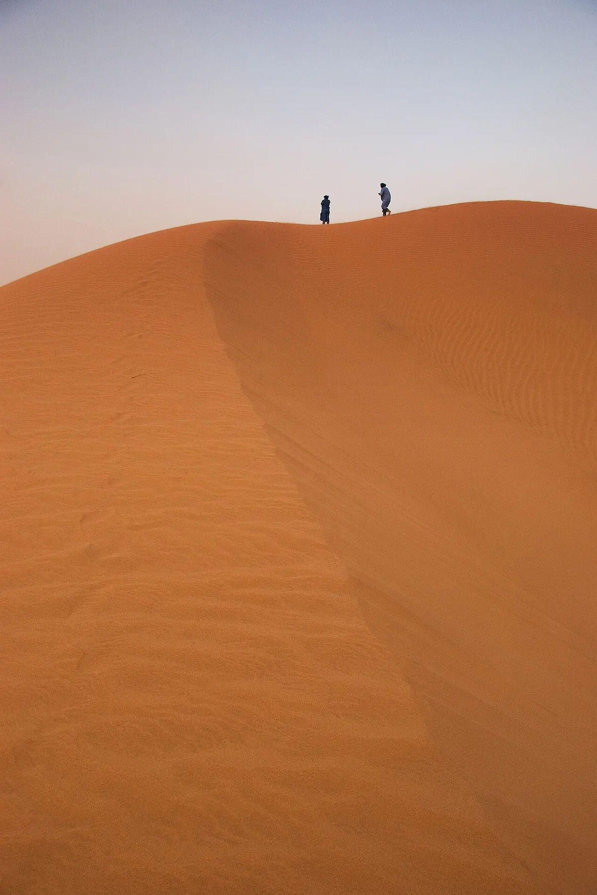
If you only have one night, a Mhamid desert camp at Erg Lihoudi or in the smaller dunes around the oasis is a reasonable compromise. If you came for big sand and silence, keep going to Erg Chigaga.
Erg Chigaga tour from Mhamid
Mhamid is the usual starting point for an Erg Chigaga tour. The dunes lie roughly 50 to 60 km west of the village, across a mix of hamada, soft sand and dry lake beds. Most references put the erg about 56 km southwest of Mhamid, and some of its dunes rise more than 50 m above the plain around them.
There are three common ways to make the trip:
- by 4x4 with a local driver, usually 1.5 to 3 hours each way, often with a stop at the small “sacred oasis” of Oum Lâalag on the way;
- by camel, which takes several days and is usually arranged as a multi-day trek from Mhamid;
- by 4x4 out to the dunes and then on to Foum Zguid across the dry bed of Lake Iriqui, which saves backtracking if you are heading west towards Agadir or Tata.
That western exit crosses Iriqui National Park, created in 1994, and comes out at Foum Zguid, a few hours’ drive west of the erg. Whichever route you pick, most travellers who use Mhamid Morocco as a base book the driver or camel team locally or through their camp.
Is it safe to drive from Mhamid to Erg Chigaga?
Yes, if you treat it as real off-road driving. The track is unmarked, wind moves the sand and can erase tyre tracks, the fine powdery sand known as fech-fech can stop a vehicle that loses momentum, and the sharp stones of the hamada cut tyre sidewalls. Dry lake beds can hide soft patches after rain. A normal hire car will not make it.
If you want to drive yourself, you need a high-clearance 4x4 with low range, at least one full-size spare, recovery gear, extra fuel and plenty of water, plus offline maps and ideally a second vehicle. Many independent travellers leave their car in Mhamid and hire a local driver, which costs more but removes the navigation problem. Also keep away from the border zone: the land border with Algeria is closed, and it is easy to drift south if you lose the track.
Mhamid weather
Mhamid has a hot desert climate. Rain is rare (well under 1 cm in most months), and the main variable is heat. The table below uses WeatherSpark’s long-term averages.
| Month | Avg high | Avg low |
|---|---|---|
| January | 19°C | 5°C |
| February | 23°C | 8°C |
| March | 27°C | 12°C |
| April | 31°C | 16°C |
| May | 36°C | 21°C |
| June | 40°C | 24°C |
| July | 43°C | 28°C |
| August | 42°C | 27°C |
| September | 37°C | 23°C |
| October | 31°C | 18°C |
| November | 24°C | 11°C |
| December | 20°C | 6°C |
For a desert trip, October and November and then March and April are the most comfortable. December to February brings mild days and cold nights in camp. Summer in Mhamid Morocco is possible if you sleep through the afternoons and do everything at dawn and dusk, but it is tough going, and July nights still average around 28°C.
Mhamid festival calendar
For a village of its size, Mhamid Morocco hosts a surprising number of cultural events, and their dates move from year to year.
International Nomads Festival
Run by the Nomades du Monde association, it held its 21st edition from 3 to 5 April 2026, with concerts, camel races, sand hockey and craft stalls. The 20th edition ran from 10 to 13 April 2025, and earlier editions were held in March, so expect it in spring.
Taragalte Festival
This music and culture festival takes place in the dunes near the village, usually in late October or early November. The 2025 edition was announced for 30 October to 2 November 2025. As of November 2026 we have not found published dates for the next one.
Zamane Festival
Zamane is a four-day desert music festival staged inside four of Mhamid’s old ksour. Its fifth edition is scheduled for 3 to 6 December 2026.
If a festival is the reason for your trip, check the organisers’ own channels before booking. Beds in the village are limited, so reserve early.
Where to stay: Mhamid hotel and camp options
Accommodation in and around Mhamid falls into four broad types:
- kasbah-style guesthouses and small hotels in the palm grove, some of them a few kilometres before the village;
- simple hotels and auberges on the main street, fine for one night before an early start;
- campsites that take campervans and overland vehicles;
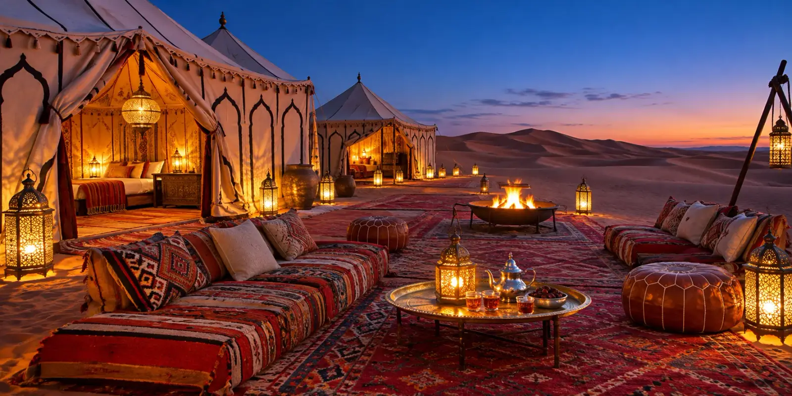
- desert camps, either at Erg Lihoudi close to the village or further out at Erg Chigaga.
Standards vary a lot, so read recent reviews before booking a Mhamid hotel. If you are planning to spend your night in the dunes, many travellers skip a hotel entirely and go straight from the bus or car to a camp.
Practical tips before you go
Zagora is the last large town on the N9. Fill the tank and take out enough cash there, because services south of Zagora are limited and you should not count on finding them in Mhamid.
Carry your own drinking water for any desert outing, even a short one, and a scarf for sun and wind. Mhamid is a conservative village, and covered shoulders and knees make conversations easier.
You may be approached by people offering camel rides and 4x4 trips. Agree on the route, the duration and what is included before you set off.
Mhamid vs Merzouga
People who compare Mhamid with Merzouga are really choosing between Erg Chigaga and Erg Chebbi. Merzouga sits right next to its dunes at the end of a paved road, so it is easier to reach and much busier. From Mhamid you still have a piste of 1.5 to 3 hours to the big dunes, and the camps out there see fewer visitors. Our comparison of Erg Chebbi vs Erg Chigaga goes through the trade-offs in detail.
Planning your trip
If Mhamid is on your route, decide first whether you want to sleep near the village or push on to the big dunes. Start with the Erg Chigaga guide and how to get to Erg Chigaga, then look at the Erg Chigaga tours if you prefer a driver and camp arranged for you. Coming from the north, read the Zagora Morocco guide for the stops along the Drâa valley.
Frequently asked questions
How far is Erg Chigaga from Mhamid?
Erg Chigaga lies roughly 50 to 60 km west of Mhamid, depending on which track the driver takes. There is no paved road. The trip is a 4x4 piste over stony hamada, sandy stretches and dry lake beds, and it usually takes about 1.5 to 3 hours each way. Most people go with a local driver from Mhamid, either as a transfer to a camp or as part of an Erg Chigaga tour.
Is it safe to drive from Mhamid to Erg Chigaga?
It is safe with the right vehicle and a driver who knows the tracks. The piste is unmarked, sand can stall a vehicle, sharp rocks damage tyres, and wind can wipe out tracks. A standard rental car is not suitable. If you drive yourself, use a high-clearance 4x4, carry extra water and fuel, and travel in convoy or with a local guide. The Algerian border nearby is closed, so stay on known routes.
How do I get from Zagora to Mhamid?
Follow the N9 south from Zagora for about 95 km, passing Tamegroute, the Tinfou dunes and Tagounite. The road is paved all the way and the drive takes around 1.5 to 2 hours. CTM has run a direct bus from Marrakech through Zagora to Mhamid (the stop is listed as Lamhamid Ghozlane), while Supratours generally stops at Zagora, where shared grand taxis cover the last stretch in about 1.5 hours. Timetables change, so check the current schedule at the bus station or on ctm.ma before you travel.
How long does it take to drive from Marrakech to Mhamid?
Route planners give about 446 to 448 km and 7 h 40 to 8 h 40 of driving via the Tizi n'Tichka pass, Ouarzazate, Agdz and Zagora. With photo stops and lunch, most people take 9 to 10 hours, which is why tours often break the trip with a night in the Drâa valley before heading on to the dunes.
What does M'Hamid El Ghizlane mean?
The Arabic name is usually translated as 'plain of the gazelles', a reference to the gazelles that once grazed the open plains around the oasis. Signs and maps spell it in several ways: M'Hamid, Mhamid, Lamhamid Ghozlane or M'hamid El Ghizlane. All of them refer to the same village at the southern end of the N9.
When is the best time to visit Mhamid?
October to April is the most comfortable period. Days are warm, and nights from December to February can drop to around 5°C on average, so bring a warm layer for desert camps. From June to September, average highs sit around 40°C or more, which makes camel treks and dune walks hard work outside the early morning.
Are there festivals in Mhamid?
Yes. The International Nomads Festival held its 21st edition from 3 to 5 April 2026. The Taragalte festival has usually taken place in late October or early November in the dunes near the village. The Zamane desert music festival is scheduled for 3 to 6 December 2026. Dates change from year to year, so confirm with the organisers before you plan around them.
Sources we checked
- M'Hamid El Ghizlane (Wikipedia)
- M'Hamid travel guide (Wikivoyage)
- M'Hamid, la dernière oasis (Lonely Planet France)
- Erg Chigaga (Wikipedia)
- Draa River (Wikipedia)
- Average weather in Mhamid (WeatherSpark)
- Marrakesh to Mhamid route (Rome2rio)
- Le 21ème Festival international des nomades, du 3 au 5 avril (AllAfrica)
- Zamane Festival 2026 in M'Hamid El Ghizlane (The Rio Times)
- Taragalte Festival 2025 call for applications (Music In Africa)
- Morocco travel advice: regional risks (GOV.UK)
- Driving the off-road track from M'Hamid to Erg Chigaga (Dangerous Roads)
Keep exploring
Related pages
 Erg ChigagaErg Chigaga guide: where it is, how high the dunes really are, the 4x4 piste from M'hamid, camp types, best months and how many days to plan.Read the guide
 How to get to Erg ChigagaHow to get to Erg Chigaga: the M'hamid and Foum Zguid pistes, drive times from Marrakech, Ouarzazate, Zagora and Agadir, and the truth about self-driving.Read the guide
 Zagora MoroccoZagora Morocco guide: where it is, what the desert really looks like, Tamegroute, Tinfou dunes, the Timbuktu sign, weather and how to get there.Read the guide
 Foum ZguidFoum Zguid guide: where it is, drive times from Agadir, Marrakech and Zagora, the piste to Erg Chigaga via Lake Iriki, fuel, souk day and weather by month.Read the guide
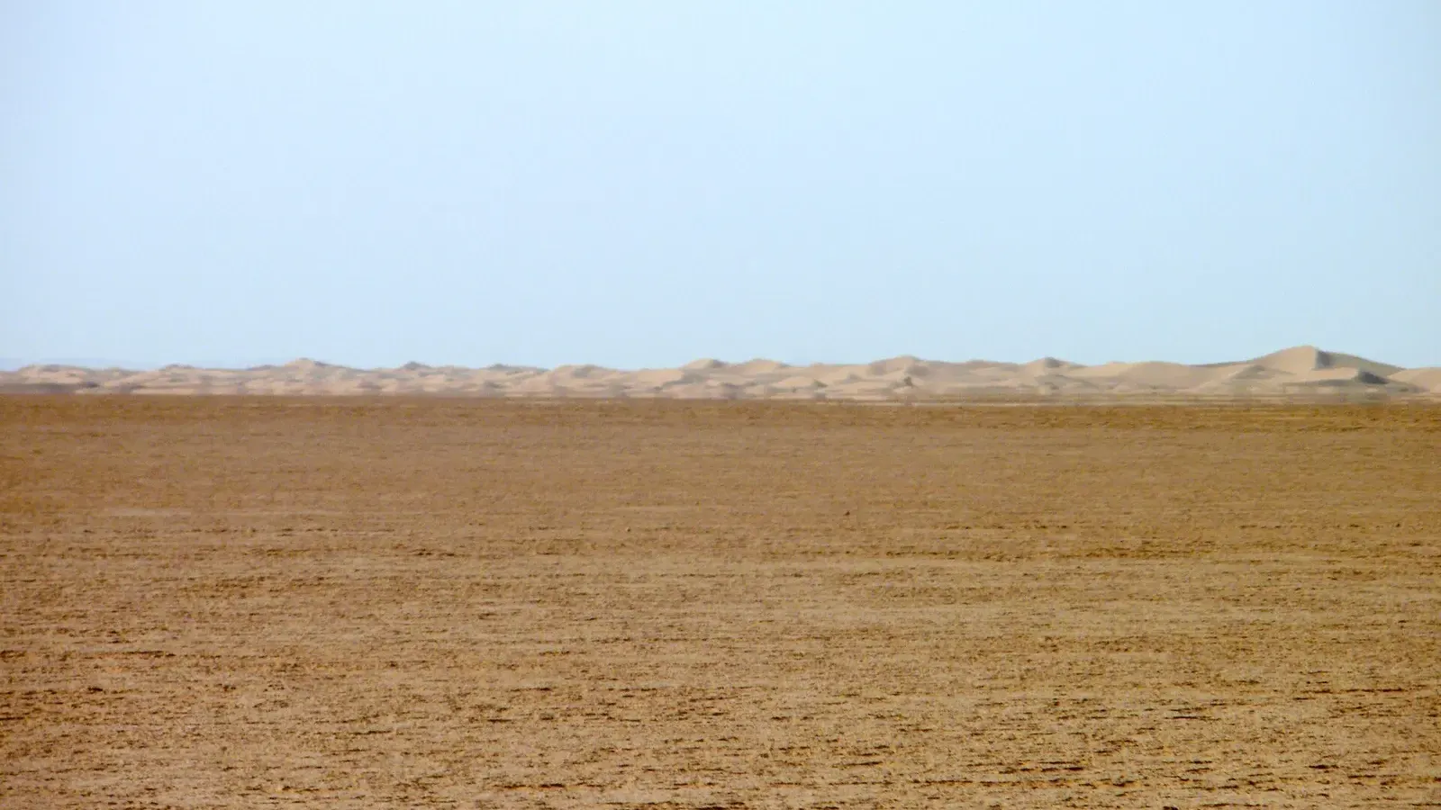 Lake IrikiLake Iriki guide: the dry lake in Iriqui National Park, the 2024 floods, mirages, real wildlife odds, and the 4x4 piste from Foum Zguid to Erg Chigaga.Read the guide
 Where to stay in Sahara desert MoroccoWhere to stay in Sahara desert Morocco: Merzouga, M'hamid, Erg Chigaga camps, Zagora, Foum Zguid or Agafay, hotel types and what to check before booking.Read the guide
 Desert oasis MoroccoDesert oasis Morocco guide: how khettaras and date palms keep the southern oases alive, why they are shrinking, and 11 oases you can visit, with distances.Read the guide
 Morocco desert foodMorocco desert food: medfouna, sand-baked bread, tagines, couscous, Drâa and Tafilalet dates, camp meals, vegetarian tips, water hygiene, Ramadan 2027.Read the guide